My Quest to Compare Maps Over Time
Last Tuesday I dug through my dusty attic boxes hunting for old city maps. See, I've collected every city map since 2005 like a weird hobby. Pulled out the yellowed 2005 paper map, the 2015 laminated one stuck to an old takeout menu, and my newest interactive 2025 digital map from the city planning office.
Set up my kitchen table battle station - spread all three maps side by side like a detective. At first glance? Total mess. Old maps had blurry street names while the new one showed glowing neon routes. Couldn't even match downtown areas because the stupid paper map ink had faded near the riverbank.
Here's exactly what I did:
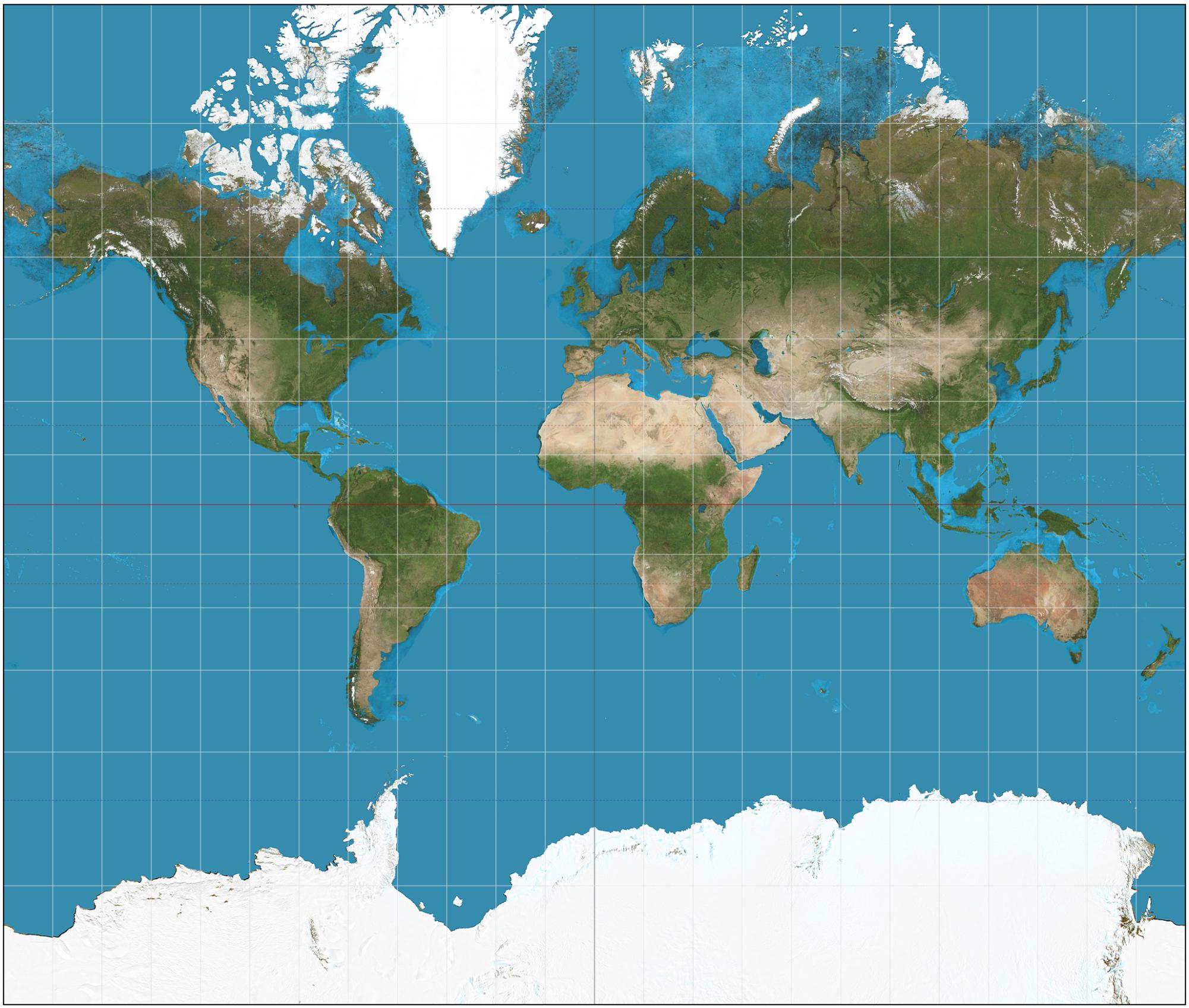
- Slapped the 2005 map under my brightest lamp
- Used red tracing paper to outline key districts
- Zoomed the 2025 map to match the tracing paper scale
- Marked vanished parks with big X's using permanent marker
Nearly gave up when the new subway lines appeared like glowing spaghetti on the digital map. My paper maps just showed empty fields there! Took 4 hours adjusting layers until it finally clicked - saw three generations of highway expansions swallowing neighborhoods whole. Even my childhood candy store location got paved over for a drone hub in the 2025 version.
Funny thing? That digital 2025 map kept freezing my tablet. Had to charge it twice just to compare flood zones. Meanwhile the paper maps survived coffee spills and my cat walking over them. Ended up sticky-noting all changed areas with handwritten labels like "Gone" and "New Hell".
By midnight I could finally see twenty years of changes screaming from the maps. Old industrial zones became vertical farms. Railway graveyards transformed into hovercar lanes. My town didn't just grow - it got digitally rewritten. Those faded lines and glowing routes tell stories louder than any history book.

